Highway 97 is now open north of Terrebonne after a fire near Juniper Butte. More Info Here
As of 8:50 p.m. on July 10, the @Jeffercosheriff‘s interactive evacuation map shows evacuation notices for the #JuniperFire reduced to Level 1 “Be Ready.”
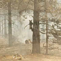
Around 3:30 p.m., firefighters responded to the Juniper Fire, burning on the west side of Highway 97 near Mile Post 107 between Terrebonne and Madras on private and county land and the Crooked River National Grassland. The fire is estimated at 700 acres. Using dozer lines and existing features, firefighters have constructed line around the fire perimeter. Firefighters are continuing to strengthen and secure lines around the perimeter of the fire.
Responding resources included engines, hand crews, dozers, scoopers, helicopters, an air tanker and air attack.
Jefferson County Sheriff’s Office initially issued Level 1, 2, and 3 evacuation notices. Levels have all been decreased to a Level One “Be Ready.” You can find an interactive map of evacuation zones here. For updates on Highway 97 visit Oregon Department of Transportation’s TripCheck.
The Juniper Fire was caused by a vehicle fire that spread to the wildland.
For current wildfire information, the public can visit centraloregonfire.org or follow fire information on X (Twitter) @CentralORFire.